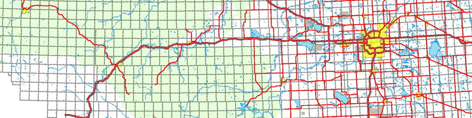
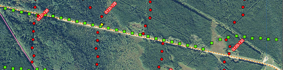
Using our extensive up-to-date geospatial database and our experienced in-house staff, OutSource Seismic will map your entire seismic program from the initial pre-planning stages to the final post-acquisition program map. Seismic lines are applied to various resources such as topographic, landowner, and pipeline maps.
The use of air photos, satellite imagery, LiDAR, and Digital Elevation Models (DEMs), can aid significantly in understanding the terrain, access, existing lines, and program costs. High quality mapping ensures the comprehensive understanding of the seismic program and the area surrounding it; thus improving field safety, environmental concerns, and AFE accuracy.
Types of Seismic Program maps includes:
• Topographic Maps
• Exploration Restriction Maps
• LSAS Disposition Maps
• Historical Site Maps
• Preliminary Maps
• Amendment Maps
• Final Plan Maps
Custom Tools & Programs
OutSource Seismic has a continuously updated set of custom tools created for daily project use. These tools are designed using the latest in Programming techniques to not only run with existing mapping software, ESRI’s ArcGIS, but to automatically combine the use of Microsoft Excel and Word to generate reports. Documents and mapping files that otherwise would have taken days can now be produced in minutes, leading to reduced program cost and eliminating any chance of error.