OutSource Seismic acknowledges that the only effective way of avoiding environmental impact is to ensure all areas and valuable resources are identified before operations commence. We therefore incorporate a comprehensive planning and design stage into our Environmental Programs, which includes:
• Using the latest high-resolution air photos and satellite imagery to identify existing cut lines and use them in our seismic designs to reduce timber damage.
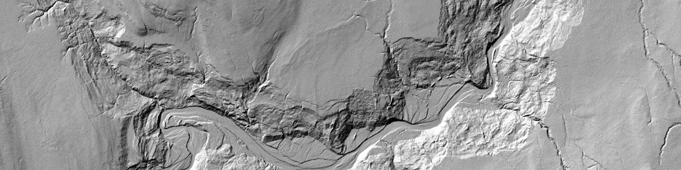
• Using LiDAR-derived Digital Elevation Models (DEMs) to calculate slope and avoid steep terrain that could potentially be damaged by seismic equipment.
• Using LiDAR point-cloud datasets to calculate tree density so these areas can be avoided to limit damage to vegetation.
• Using our extensive up-to-date geospatial database to identify sensitive areas where endangered species are present and follow the applicable legislation to ensure these species are properly protected.